Geology Maps
Geologic Maps
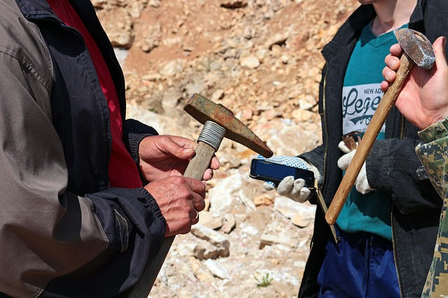
Real Time Recreation LLC provides a mineral researching and mapping service to help you get out and stake your own claim!
We can map registered claim locations, known mineral deposits, batholith locations, access roads, public land survey system, section identification and more!
Real Time Recreation provides custom mapping and information research to generate GeoPDFs and KML files of the approximate claim boundaries to use in field verification of claim boundaries!
Even if you don’t want a claim it is important to know where active claims are to avoid breaking federal laws and avoid conflicts with active claim owners. GeoPDF maps can be read by third party apps to show your location on your smart phone to help you determine are on unclaimed land.
Are you interested in custom mapping and information searches to help you stake our own claim?
Use the Contact form to tell us today!